To solve the problems of tomorrow, Grand Farm starts with the problems of modern agriculture. Our team works directly with growers and industry to better understand these problems (pain points) and work with partners in industry, higher education, and government to help solve these. To do this, the Grand Farm employs direct project management across commodity supply chains, digital system integration, and grower operations.
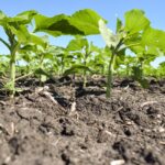
During the 2020 growing season at Grand Farm, there were 40 projects conducted on the Grand Farm, including the work of nine partners. These projects were in augmented reality mapping, soil health monitoring, unmanned aerial systems, unmanned ground systems, autonomous vehicles, sensing and identification of plants, and precision spraying.
Of these 40 projects, one high-level project was conducted involving seven organizations. There were also 12 projects conducted which involved two or more partners. Below is a list of partners involved in 2020 projects, and the descriptions of each project.
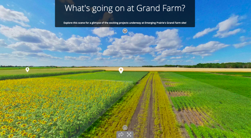
Using Agronomeye’s mapping software, farmers can make better insights from the information being collected by sensors and UAVs. This example shows how thermal imagery of crops can be combined with water flow maps (using elevation) to understand why crop yields might have been lower in certain areas of the farm.
| PARTNER (S) | PROJECT | DESCRIPTIONS |
| Agronomeye, Field of View, CHS, NDSU, Be More Colorful, ND Agriculture Experiment Station | Augmented Reality Map of Grand Farm | Agronomeye created an augmented reality map of Grand Farm utilizing data pulled from drones and ground sensors. This project utilized data from 10 different inputs, which will be described as individual projects. |
| Agronomeye, Field of View | High Resolution Imagery integration into a high-level mapping software. | Utilizing the data collected by Field of View in the first project conducted on the Grand Farm, Agronomeye was able to integrate high resolution imagery (time-stamped) into their augmented reality view of Grand Farm. |
| Agronomeye, NDSU | Real-time kinematic (RTK) Imagery integration into a high-level mapping software. | Utilizing the RTK imagery collected by NDSU Professor Dr. Paulo Flores, Agronomeye was able to integrate data into their augmented reality view of the Grand Farm. |
| Agronomeye, NDSU | RGB Imagery integration into a high-level mapping software. | Utilizing the periodic RGB imagery collected by Dr. Paulo Flores, Agronomeye was able to integrate data into their augmented reality view of Grand Farm. |
| Agronomeye, NDSU | Thermal Imagery integration into a high-level mapping software | Utilizing the periodic thermal imagery collected by Dr. Paulo Flores, Agronomeye was able to integrate data into their augmented reality view of the Grand Farm. |
| Agronomeye, NDSU | Normalized difference vegetation index (NVDI) Imagery integration into a high-level mapping software. | Utilizing the periodic NVDI imagery collected by Dr. Paulo Flores, Agronomeye was able to integrate data into their augmented reality view of the Grand Farm. |
| Agronomeye, NDSU | Soil Core Samples integration into high-level mapping software. | Utilizing soil core samples taken by NDSU Professors Dr. Caley Gasch and Joel Bell, Agronomeye was able to integrate information up to four feet in depth at Grand Farm to see soil characteristics in augmented reality. |
| Agronomeye, NDSU | Veris Survey integration into high-level mapping software. | Utilizing the Veris Survey, soil conductivity measurements taken before planting at Grand Farm, Agronomeye was able to integrate this information into the augmented reality application of the Grand Farm. |
| PARTNER | PROJECT | DESCRIPTIONS |
| Agronomeye, Be More Colorful | 360 imagery of Grand Farm integrated into high-level mapping software. | Using the imagery collected by Be More Colorful, 360 pictures were added to the augmented reality application created by Agronomeye. |
| Agronomeye, CHS | Field Trial Information integrated into augmented reality map of the Grand Farm | Using Test Plot maps created by CHS of research being conducted on Grand Farm, information was integrated into the augmented reality map created by Agronomeye. |
| CHS, NDSU | Corn Husk Enzyme | In a field trial conducted by CHS, enzymes which break down corn husk were measured by NDSU to determine impacts on the microbiome of the soil. |
| CHS, NDSU | Phosphatase Enzyme | In a field trial conducted by CHS, enzymes which break down phosphatases were measured by NDSU to determine impacts on the microbiome of the soil. |
| CHS | Replicated Trials | KayJay Ag is conducting replicated trials on: Sugar Beets (eight treatments) |
| CHS | Replicated Trials | KayJay Ag is conducting replicated trials on: Corn (12 treatments) |
| CHS | Replicated Trials | KayJay Ag is conducting replicated trials on: Foliar Wheat (10-12 treatments) |
| CHS | Replicated Trials | KayJay Ag is conducting replicated trials on: Boron in Sugar Beets (four treatments) |
| PARTNERS | PROJECT | DESCRIPTIONS |
| CHS | Replicated Trials | KayJay Ag is conducting replicated trials on: Corn Enzyme IF (20 treatments) |
| CHS | Product trial on Iron Deficiency Chlorosis | DPA Yield Point is conducting two product trials evaluating effectiveness against Iron Deficiency Chlorosis by adding nitrogen to treatment groups of soybeans. Two different trials will occur; one on good land and one on bad land. |
| CHS | Soybean Fertility with induced salt burn | DPA Yield Point is conducting two Soybean fertility trials with the use of a product while inducing salt burn with higher rates of inputs. |
| CHS | Corn Fertility Trials | DPA Yield Point is conducting seven corn fertility trials to highlight the importance of quality starter fertilizers. |
| CHS | Spray Drift Trials | Kirk Howatt is conducting 72 precision spray drift tests in different wind conditions. |
| CHS | Weed Height Response | Joe Ikley is conducting four trials on response to herbicide of native and nonnative weeds based on height. |
| CHS | Herbicide Systems Trials | Joe Ikley is conducting 18 trials on effectiveness of different herbicide systems on native and nonnative weeds with the use of indicator species. |
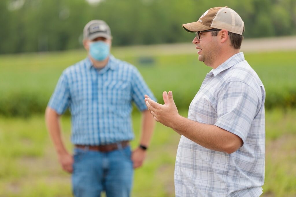
Grand Farm Program Manager Dr. William Aderholdt leading a tour of the Grand Farm Test Site. Last summer, Grand Farm safely hosted 20 plus events with 750 plus people.
| PARTNER (S) | PROJECT | DESCRIPTIONS |
| CHS | Herbicide Additive Trial | Joe Ikley is conducting 14 trials on the effectiveness of herbicide products on native and non-native weed species. |
| CHS | Corn Seed Treatments | DPA Yield Point is conducting three zinc Corn seed treatment demonstration trials. |
| CHS | Sunflower Demonstration | DPA Yield Point is conducting one Sunflower demonstration trial. |
| CHS | Soybean Seed Treatment | DPA Yield Point is conducting six Soybean trials. |
| NDSU | UAS Mapping – NVDI | Dr. Paulo Flores is conducting regular, periodic mapping of the Grand Farm Test Site using techniques in NVDI imagery. |
| NDSU | UAS Mapping – RGB | Dr. Paulo Flores is conducting regular, periodic mapping of the Grand Farm Test Site using techniques in RBG imagery |
| NDSU | UAS Mapping – Thermal | JDr. Paulo Flores is conducting regular, periodic mapping of the Grand Farm Test Site using techniques in thermal imagery |
| NDSU | Veris Survey | Dr. Caley Gasch and Joel Bell are conducting a Veris survey, which provides electrical conductivity readings of soil at high spatial resolution at two depths. |
| PARTNER | PROJECT | DESCRIPTIONS |
| NDSU | UAS Mapping – RTK | UAS Mapping – RTK Dr. Paulo Flores conducted mapping of Grand Farm using RTK imagery |
| NDSU | Soil Sampling | Dr. Caley Gasch and Joel Bell are collecting soil samples at four feet in depth across the entire field. Soils will be analyzed for physical (texture, density, structure), chemical (fertility, salinity, labile organic fractions) and basic biological properties. |
| NDSU | Soil Sensors | Dr. Caley Gasch and Joel Bell are installing soil sensors at multiple locations and depths within each crop block. These sensors will automatically record soil/water content and temperature at high frequency. |
| NDSU | UAS/UGS Weed Identification Using Computer Vision | Dr. Xin (Rex) Sun is researching native and non-native weed identification to develop effective tools and systems to identify, map and site-specifically manage weeds, specifically resistant weeds, using latest technologies such as unmanned aerial systems (UAS), bioinformatics, artificial intelligence and chemical/sprayer technologies |
| USDA | Solitary Pollinators | Dr. Joseph Rinehart and Dr. Dacotah Melicher are studying solitary pollinators (Leaf-cutter) and their ability to strategically pollinate fields. This project will show the impacts of multiple trials/demonstrations being conducted on these pollinators, thus showing the impacts of precision agriculture techniques. |
| USD | Hive-Based Pollinators | Dr. Joseph Rinehart and Dr. Dacotah Melicher are studying hive-based pollinators (honey bees) and the impacts of precision agriculture techniques on hive health |
| Field of View | UAS High-Resolution Mapping | David Dvorak (CEO of Field of View) is conducting a high-resolution survey of the Grand Farm Test Site. |
| Better Earth Agronomy | Advanced Genomics Survey of Grand Farm | Better Earth Agronomy conducted an advanced genomics survey of the Grand Farm to determine the baseline microbiology of the soil. |
| Signum, NDSU | Connection of Sensors to Wireless Network | Signum was able to retrofit sensors NDSU was using to collect soil moisture |